MapGIS
Select an option from the File | Import | MapGIS menu to import data from a MapGIS line (.WAL) or point (.WAT) file. MapGIS is a GIS package developed by the Zondy Cyber Group and is widely used in China.
You can also export data to a MapGIS file format, import other GIS file formats and load MapGIS data directly into Vizex using Display | Vizex | GIS.
Enter the following parameters in the Import MapGIS form:
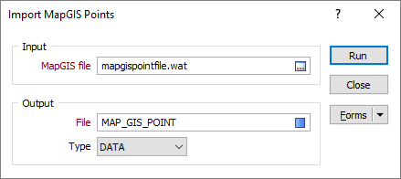
MapGIS file
Navigate to the location of the .WAT and .WAL file(s) you want to import.
Output file
Specify an output file. The type of file you select should be compatible with the type of features (points or lines) being imported.